

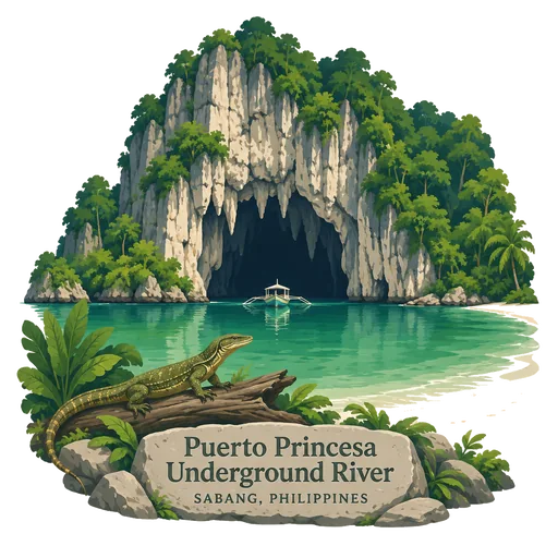
Puerto Princesa Underground River
A limestone karst national park on the west coast of Palawan, where a river runs through a cave and flows straight into the sea. Visitors paddle in by boat to see huge chambers and rock formations. It is a UNESCO World Heritage Site, listed in 1999.
- Where
- Sabang, Mimaropa, Philippines
- Grade
- UNESCO heritage
- Worth
- 10 points collected on site, plus 8 for its grade
- Coordinates
- 10.1667, 118.9167
Get the Puerto Princesa Underground River stamp
Open LOQAH when you are at Puerto Princesa Underground River. It checks where you are once, at that moment, and the stamp is yours: confirmed on site in gold and struck with the date. It goes into your Mimaropa volume with your photos and a note.
Near Puerto Princesa Underground River
Honda Bay 33 km
A bay on the eastern shore of Palawan near Puerto Princesa. Many small islands are scattered across it, including Arrecife Island, which is home to an upscale resort, and boats run island hopping trips from the port.
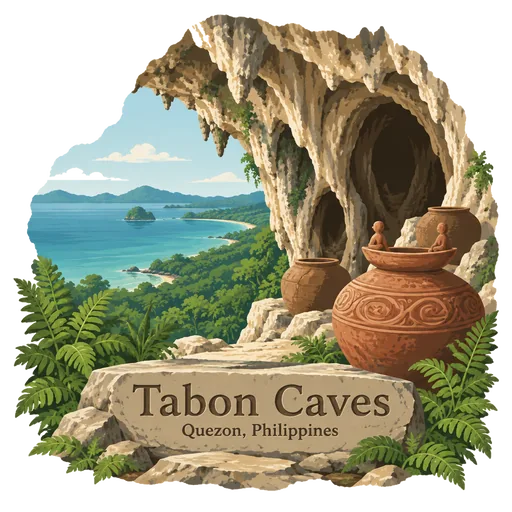
Tabon Caves 142 km
A complex of limestone caves on the west coast of Palawan, where archaeologists found the skull cap of Tabon Man in 1962, among the earliest human remains found in the Philippines. Tools, jars and burial remains show people lived here for tens of thousands of years.
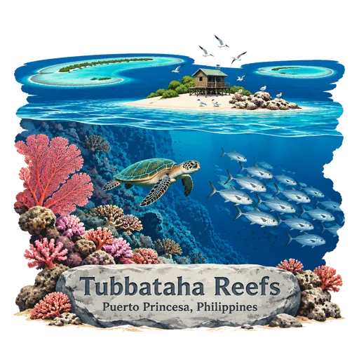
Tubbataha Reefs 171 km
A remote group of coral atolls in the middle of the Sulu Sea, reached only by live aboard dive boats during the calm months of spring. It is a protected marine park and a UNESCO World Heritage Site, known for sharks, turtles and some of the richest reefs in the region.
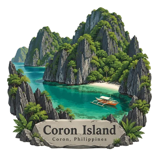
Coron Island 243 km
A rugged limestone island in northern Palawan, ancestral land of the Tagbanua people. Sheer cliffs surround clear lagoons and lakes, including Kayangan Lake, a popular swimming spot. Boat tours from the town of Coron also stop at wreck dive sites from the Second World War.
Kayangan Lake 245 km
A brackish lake on Coron Island, maintained by the local Tagbanwa people. It is one of the most popular sights on the island and is considered among the cleanest lakes in the country.
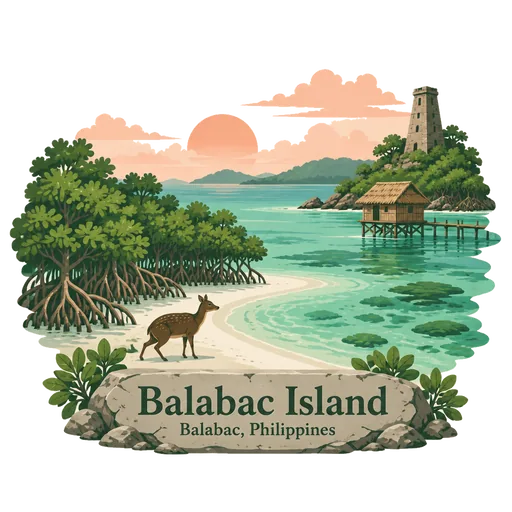
Balabac Island 323 km
The southernmost island of Palawan, about 50 kilometres from Borneo. The Balabac group has white sand bars, mangroves and clear lagoons, and is home to the Palawan mouse deer. Boats reach it from Rizal and Bataraza.
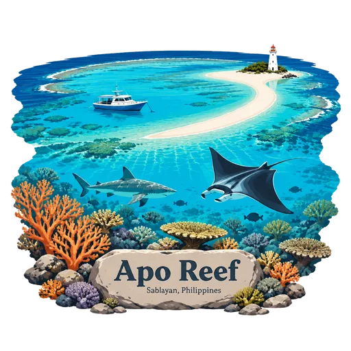
Apo Reef 327 km
A coral reef system in the Mindoro Strait, off the west coast of Occidental Mindoro. It covers 34 square kilometres and is considered the second largest contiguous coral reef system in the world.
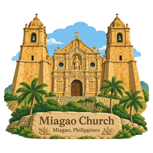
Miagao Church 367 km
Santo Tomas de Villanueva Parish Church, in Iloilo province, completed in 1797 and built as a fortress against raiders from the sea. Its sandstone front has a carved relief of Saint Christopher among coconut and papaya trees. It is part of the Baroque Churches UNESCO listing.


More UNESCO World Heritage sites in Mimaropa
Questions
Where is Puerto Princesa Underground River?
Puerto Princesa Underground River is in Sabang, Mimaropa, Philippines. The nearest other LOQAH stamps are Honda Bay (33 km), Tabon Caves (142 km), Tubbataha Reefs (171 km).
How do I get the Puerto Princesa Underground River stamp?
Open LOQAH when you are at Puerto Princesa Underground River and get its stamp. The app checks where you are once, at that moment, and the stamp goes into your Mimaropa volume, confirmed on site, with the date.
I have been to Puerto Princesa Underground River before. Can I still have the stamp?
Yes. Add it from Earlier trips in your Mimaropa volume, with the date if you know it, or import your Google Timeline and LOQAH matches the places you were.
Collect your first stamp.
LOQAH is free on iPhone and Android, in India and 40 more countries, with more countries on the way. Stand at a place, collect its stamp, and keep every trip in a passport that grows.