

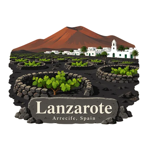
Lanzarote
The easternmost of the Canary Islands, shaped by volcanic eruptions in the 1730s. Its black lava fields, vineyards in pits and white villages were shaped in part by the artist César Manrique.
- Where
- Arrecife, Canary Islands, Spain
- Grade
- Well known
- Worth
- 10 points collected on site, plus 1 for its grade
- Coordinates
- 29.0350, -13.6350
Get the Lanzarote stamp
Open LOQAH when you are at Lanzarote. It checks where you are once, at that moment, and the stamp is yours: confirmed on site in gold and struck with the date. It goes into your Canary Islands volume with your photos and a note.
Near Lanzarote
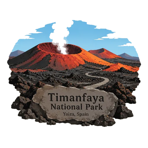
Timanfaya National Park 14 km
A national park in the southwest of Lanzarote, covering 51 square kilometres of volcanic terrain in the municipalities of Tinajo and Yaiza. The land was shaped by eruptions in the 1730s. Visitors travel through the lava fields by bus.
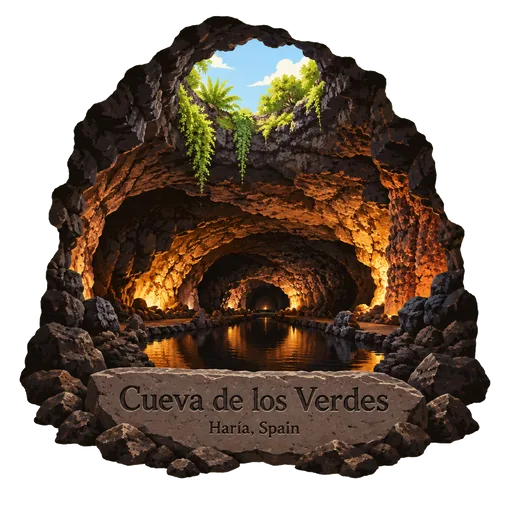
Cueva de los Verdes 24 km
A lava tube and tourist attraction in Haría on Lanzarote. The cave lies within the Monumento Natural del Malpaís de La Corona, a protected area. Guided tours walk through part of the long tunnel formed by a volcanic eruption.
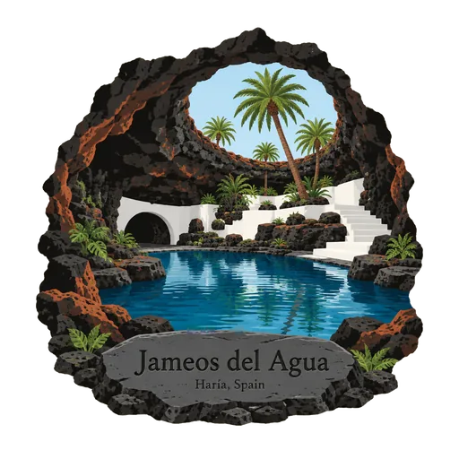
Jameos del Agua 24 km
A series of lava caves in Haría, northern Lanzarote, that is also an art, culture and tourism centre. The artist and architect César Manrique created it and the island government manages it. An underground lagoon holds tiny white blind crabs.
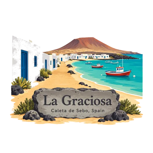
La Graciosa 27 km
A small volcanic island just north of Lanzarote, reached by ferry from Órzola. It has sandy streets, a couple of fishing villages and beaches of golden sand, and no paved roads. It is part of the Chinijo Archipelago natural park.
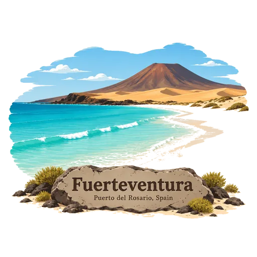
Fuerteventura 79 km
A long, dry Canary island some 97 kilometres from the African coast. It is known for its wide white beaches and dunes, and for steady winds that attract surfers and kitesurfers. Its dry hills and volcanic cones give it a stark beauty.
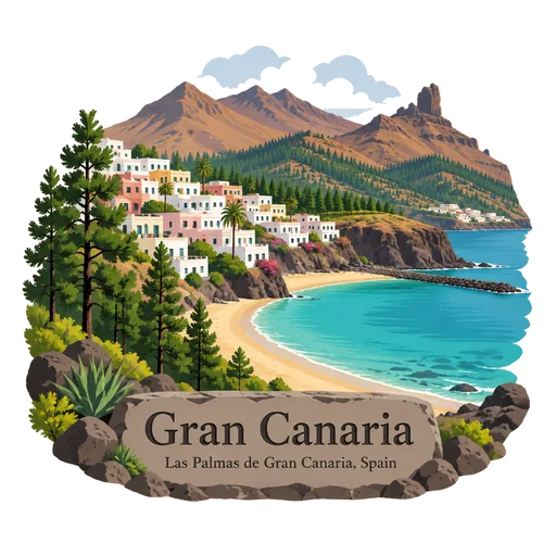
Gran Canaria 226 km
A round volcanic island in the Canaries and the third largest of the archipelago. It has sand dunes at Maspalomas, mountain villages and the large city of Las Palmas. Its mountainous middle rises to nearly 2,000 metres.
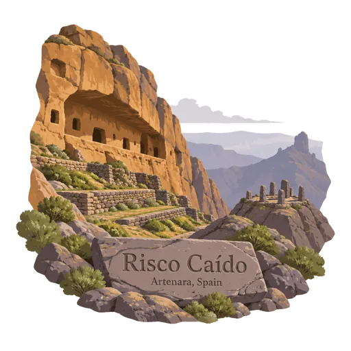
Risco Caído 227 km
A rocky landscape in the mountains of Gran Canaria with caves that were used by the island's original inhabitants before the Spanish conquest. One of them is a carved chamber where light from the sun and moon entered through a small opening.
Roque Nublo 227 km
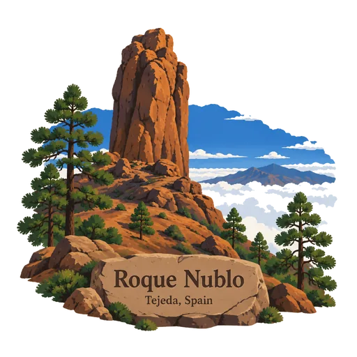
A volcanic rock on the island of Gran Canaria, 80 metres tall, with its top 1,813 metres above sea level. It is the third highest point on the island. A walking trail leads up to the base of the rock.
More famous places to visit in Canary Islands
Questions
Where is Lanzarote?
Lanzarote is in Arrecife, Canary Islands, Spain. The nearest other LOQAH stamps are Timanfaya National Park (14 km), Cueva de los Verdes (24 km), Jameos del Agua (24 km).
How do I get the Lanzarote stamp?
Open LOQAH when you are at Lanzarote and get its stamp. The app checks where you are once, at that moment, and the stamp goes into your Canary Islands volume, confirmed on site, with the date.
I have been to Lanzarote before. Can I still have the stamp?
Yes. Add it from Earlier trips in your Canary Islands volume, with the date if you know it, or import your Google Timeline and LOQAH matches the places you were.
Collect your first stamp.
LOQAH is free on iPhone and Android, in India and 40 more countries, with more countries on the way. Stand at a place, collect its stamp, and keep every trip in a passport that grows.