

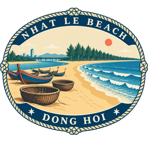
Nhat Le Beach
A long sandy beach at the mouth of the Nhat Le River in Dong Hoi, on Vietnam's central coast. Fishing boats pull up along the shore, and it is the usual seaside stop before or after the caves of Phong Nha.
- Where
- Dong Hoi, Quang Tri, Vietnam
- Grade
- Local gem
- Worth
- 10 points collected on site
- Coordinates
- 17.4670, 106.5830
Get the Nhat Le Beach stamp
Open LOQAH when you are at Nhat Le Beach. It checks where you are once, at that moment, and the stamp is yours: confirmed on site in gold and struck with the date. It goes into your Quang Tri volume with your photos and a note.
Near Nhat Le Beach
Son Doong Cave 31 km
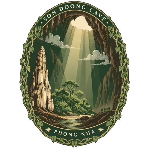
The world's largest natural cave, deep in the forest of Phong Nha Ke Bang National Park near the Laos border. Its chambers are big enough to hold their own jungle and clouds, and only small guided expeditions are allowed inside.
Phong Nha Cave 34 km
A river cave in Phong Nha Ke Bang National Park, 7,729 metres long with 14 grottoes and an underground river. Boats carry visitors in from the Son River along the first stretch of its passages.
Paradise Cave 39 km
A 31 kilometre cave found by a local man in 2005 and surveyed by British cave explorers, longer than nearby Phong Nha Cave. A wooden walkway leads visitors through chambers up to 72 metres high, hung with pale limestone formations.
Phong Nha Ke Bang National Park 47 km
A national park and UNESCO World Heritage Site of limestone mountains and forest on the border with Laos, about 500 kilometres south of Hanoi. Beneath it lie hundreds of caves, among them Son Doong, the largest known cave in the world.
Vinh Moc Tunnels 71 km
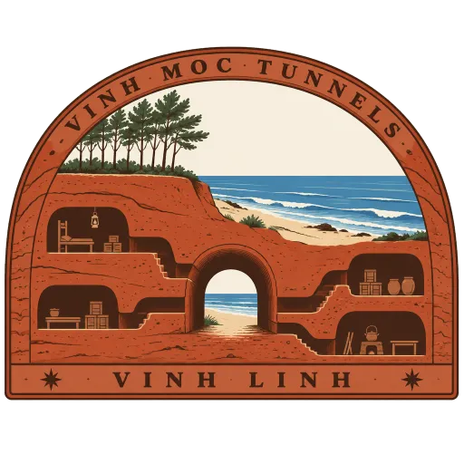
A village of underground tunnels dug near the coast just north of the old Demilitarized Zone, where families lived for years to shelter from bombing. Visitors walk narrow passages on several levels, past family rooms and a meeting hall, out to exits on the beach.
Hien Luong Bridge 72 km
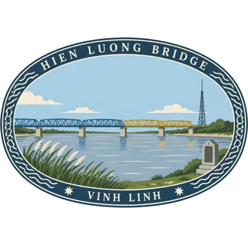
A bridge across the Ben Hai River on the 17th parallel, where the line between North and South Vietnam ran from 1954 to 1975. Today a memorial site and a tall flag tower stand on its banks.
Khe Sanh Combat Base 92 km
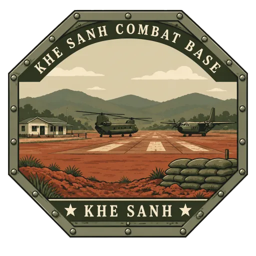
A former United States Marine Corps outpost on a plateau south of the old Demilitarized Zone, used during the Vietnam War. A small museum now stands on the site, with aircraft and helicopters displayed beside the old airstrip.
Quang Tri Citadel 102 km
A 19th century fort on the bank of the Thach Han River in the middle of Quang Tri town, once an administrative seat of the Nguyen dynasty. Its moat and gates survive around a memorial park at the centre.




More hidden gems in Quang Tri
Questions
Where is Nhat Le Beach?
Nhat Le Beach is in Dong Hoi, Quang Tri, Vietnam. The nearest other LOQAH stamps are Son Doong Cave (31 km), Phong Nha Cave (34 km), Paradise Cave (39 km).
How do I get the Nhat Le Beach stamp?
Open LOQAH when you are at Nhat Le Beach and get its stamp. The app checks where you are once, at that moment, and the stamp goes into your Quang Tri volume, confirmed on site, with the date.
I have been to Nhat Le Beach before. Can I still have the stamp?
Yes. Add it from Earlier trips in your Quang Tri volume, with the date if you know it, or import your Google Timeline and LOQAH matches the places you were.
Collect your first stamp.
LOQAH is free on iPhone and Android, in India and 20 more countries, with more countries on the way. Stand at a place, collect its stamp, and keep every trip in a passport that grows.