

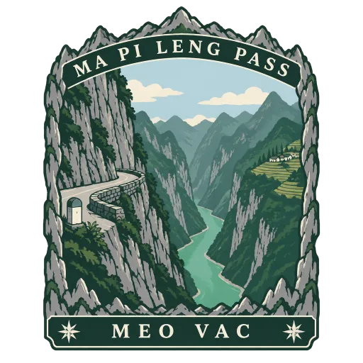
Ma Pi Leng Pass
A mountain pass on Highway 4C between Dong Van and Meo Vac, climbing to about 1,500 metres across the Dong Van Karst Plateau. Far below the road, the Nho Que River winds through a deep green gorge.
- Where
- Meo Vac, Tuyen Quang, Vietnam
- Grade
- Local gem
- Worth
- 10 points collected on site
- Coordinates
- 23.2400, 105.4000
Get the Ma Pi Leng Pass stamp
Open LOQAH when you are at Ma Pi Leng Pass. It checks where you are once, at that moment, and the stamp is yours: confirmed on site in gold and struck with the date. It goes into your Tuyen Quang volume with your photos and a note.
Near Ma Pi Leng Pass
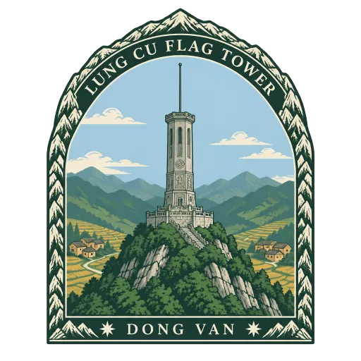
Lung Cu Flag Tower 16 km
The northernmost commune in Vietnam, high in the limestone hills of the far north near the Tropic of Cancer. Its flag tower stands on Dragon Mountain, flying a large national flag over the valleys and the villages of the Lo Lo and Hmong people.
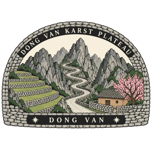
Dong Van Karst Plateau Geopark 21 km
A high plateau of grey limestone peaks along the Chinese border in Vietnam's far north, a UNESCO Global Geopark since 2010. Its switchback roads pass Hmong villages, terraced hillsides and the old market town of Dong Van.
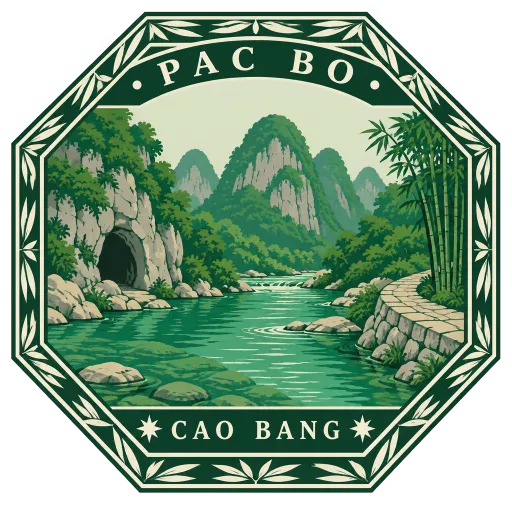
Pac Bo 73 km
A small village among karst hills in Cao Bang province, 3 kilometres from the Chinese border. Ho Chi Minh lived in a cave here after returning to Vietnam in 1941, and the clear green stream below it carries the name Lenin.
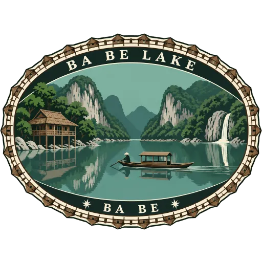
Ba Be Lake 95 km
The largest natural lake in Vietnam, set among forested limestone mountains in the northeast. Boats cross its linked basins to caves and waterfalls, and stilt house villages along the shore take in visitors.
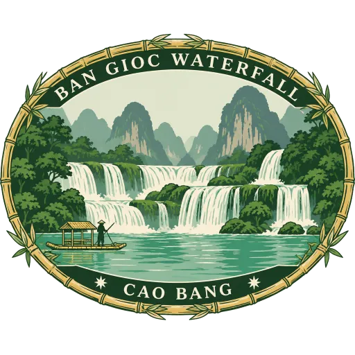
Ban Gioc Waterfall 142 km
A wide, tiered waterfall on the Quay Son River, one of a pair of falls that straddle the border between Vietnam and China. It lies among karst hills about 272 kilometres north of Hanoi, and bamboo rafts take visitors close to the spray.
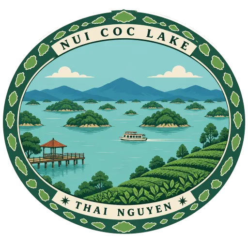
Nui Coc Lake 187 km
A reservoir about 25 kilometres west of Thai Nguyen, inside Tam Dao National Park. Its 89 islands are tied to a local legend, and it is a popular place for boat trips and weekend outings.
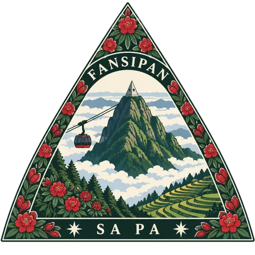
Fansipan 196 km
The highest mountain in Indochina, rising to 3,147 metres in the Hoang Lien Son range nine kilometres southwest of Sa Pa. Called the Roof of Indochina, it can be climbed over a day or two, or reached by cable car.
Mu Cang Chai 205 km
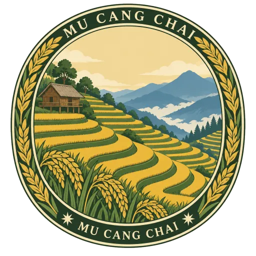
A mountain area in the northwest whose slopes are carved into rice terraces by Hmong farmers. The terraces are at their greenest in summer and turn gold just before the harvest in September and early October.
More hidden gems in Tuyen Quang
Questions
Where is Ma Pi Leng Pass?
Ma Pi Leng Pass is in Meo Vac, Tuyen Quang, Vietnam. The nearest other LOQAH stamps are Lung Cu Flag Tower (16 km), Dong Van Karst Plateau Geopark (21 km), Pac Bo (73 km).
How do I get the Ma Pi Leng Pass stamp?
Open LOQAH when you are at Ma Pi Leng Pass and get its stamp. The app checks where you are once, at that moment, and the stamp goes into your Tuyen Quang volume, confirmed on site, with the date.
I have been to Ma Pi Leng Pass before. Can I still have the stamp?
Yes. Add it from Earlier trips in your Tuyen Quang volume, with the date if you know it, or import your Google Timeline and LOQAH matches the places you were.
Collect your first stamp.
LOQAH is free on iPhone and Android, in India and 20 more countries, with more countries on the way. Stand at a place, collect its stamp, and keep every trip in a passport that grows.