

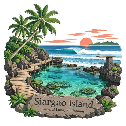
Siargao Island
A tear shaped island off the north east coast of Mindanao, known as the surfing capital of the Philippines. The Cloud 9 reef break draws surfers from around the world, and the island also has palm groves, tidal pools and lagoons for swimming.
- Where
- General Luna, Caraga, Philippines
- Grade
- Well known
- Worth
- 10 points collected on site, plus 1 for its grade
- Coordinates
- 9.8667, 126.0500
Get the Siargao Island stamp
Open LOQAH when you are at Siargao Island. It checks where you are once, at that moment, and the stamp is yours: confirmed on site in gold and struck with the date. It goes into your Caraga volume with your photos and a note.
Near Siargao Island
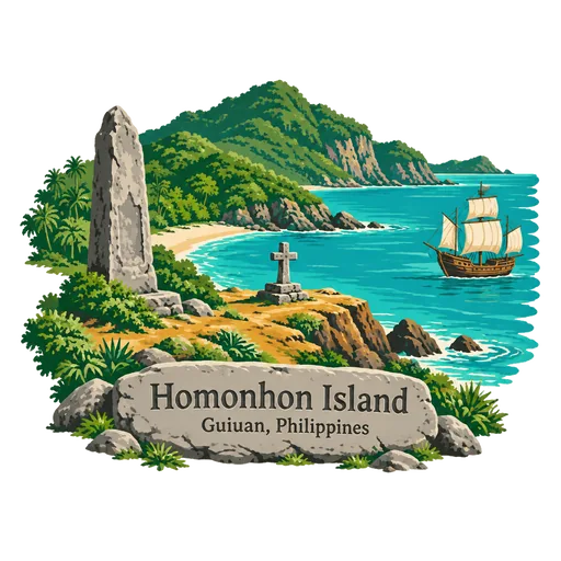
Homonhon Island 103 km
An island at the mouth of Leyte Gulf, in Eastern Samar, where Ferdinand Magellan's fleet first landed in the Philippines in March 1521. Beaches, caves and waterfalls make it a quiet stop, and a marker commemorates the landing.
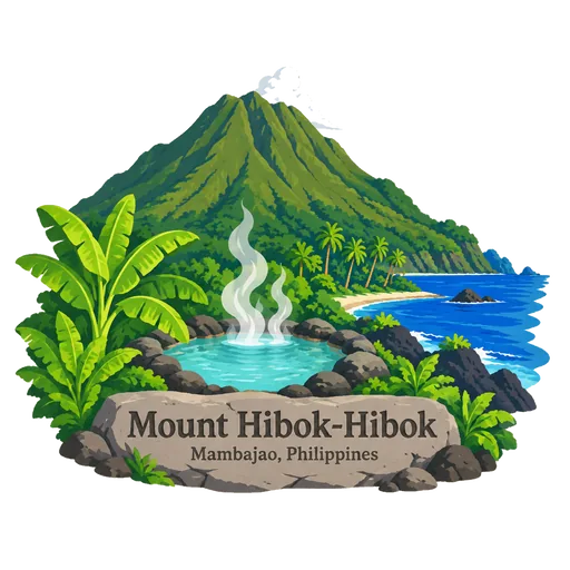
Mount Hibok-Hibok 169 km
An active volcano on Camiguin island, at about 1,332 metres, with a destructive eruption in 1951. Hot springs, cold springs and waterfalls lie on its lower slopes, and hikers can climb to the summit and a small crater lake.
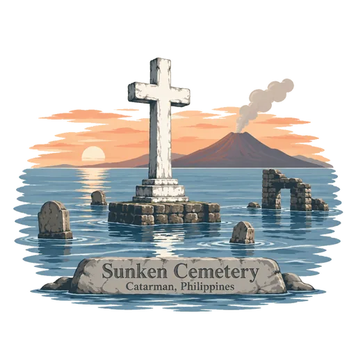
Sunken Cemetery 172 km
A submerged cemetery off Catarman on Camiguin island, which sank into the sea after the volcanic eruption of 1871. A large cross now marks the spot, and divers and snorkellers visit the old graves beneath the water.
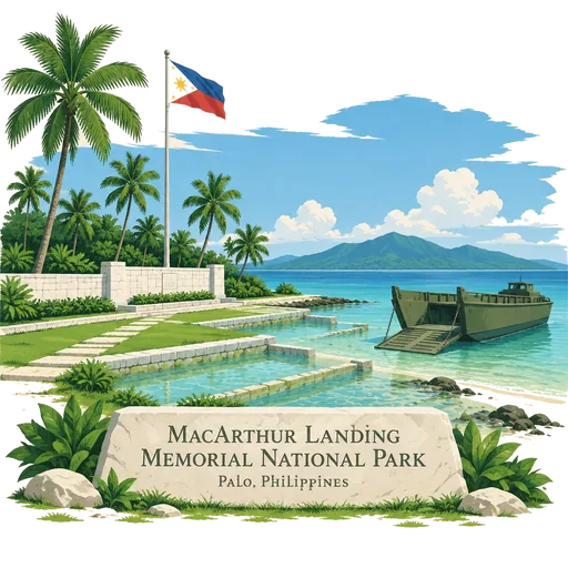
MacArthur Landing Memorial National Park 184 km
A protected park at Palo, Leyte, commemorating General Douglas MacArthur's landing in Leyte Gulf at the start of the campaign to retake the Philippines from Japan in October 1944. Large statues of the landing party stand in a shallow pool.
Tinuy-an Falls 190 km
A multi tiered waterfall in Bislig, Surigao del Sur, on the southern island of Mindanao. The widest tier is about 95 metres across, and the falls have been featured in international travel magazines.
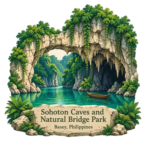
Sohoton Caves and Natural Bridge Park 192 km
A protected area of about 841 hectares inside the Samar Island Natural Park. It has caves, underground rivers, waterfalls, limestone formations and thick forest, and a natural rock bridge gives the park its name.
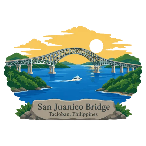
San Juanico Bridge 198 km
A long steel truss bridge across the San Juanico Strait that links the islands of Samar and Leyte, part of the Pan Philippine Highway. It was opened in 1973 and measures about 2.2 kilometres, making it the longest bridge over seawater in the country.
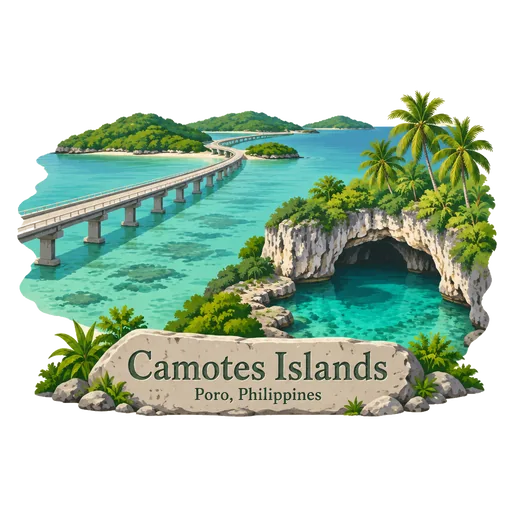
Camotes Islands 201 km
A group of islands in the Camotes Sea, east of Cebu, reached by ferry from Cebu or Leyte. They have white beaches, limestone caves and freshwater lagoons such as Lake Danao. The islands are quieter than the main tourist spots of the Visayas.

Questions
Where is Siargao Island?
Siargao Island is in General Luna, Caraga, Philippines. The nearest other LOQAH stamps are Homonhon Island (103 km), Mount Hibok-Hibok (169 km), Sunken Cemetery (172 km).
How do I get the Siargao Island stamp?
Open LOQAH when you are at Siargao Island and get its stamp. The app checks where you are once, at that moment, and the stamp goes into your Caraga volume, confirmed on site, with the date.
I have been to Siargao Island before. Can I still have the stamp?
Yes. Add it from Earlier trips in your Caraga volume, with the date if you know it, or import your Google Timeline and LOQAH matches the places you were.
Collect your first stamp.
LOQAH is free on iPhone and Android, in India and 40 more countries, with more countries on the way. Stand at a place, collect its stamp, and keep every trip in a passport that grows.